Friday, March 10, 2006

Cains River Trip
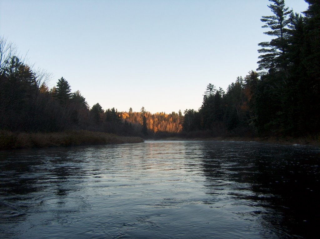
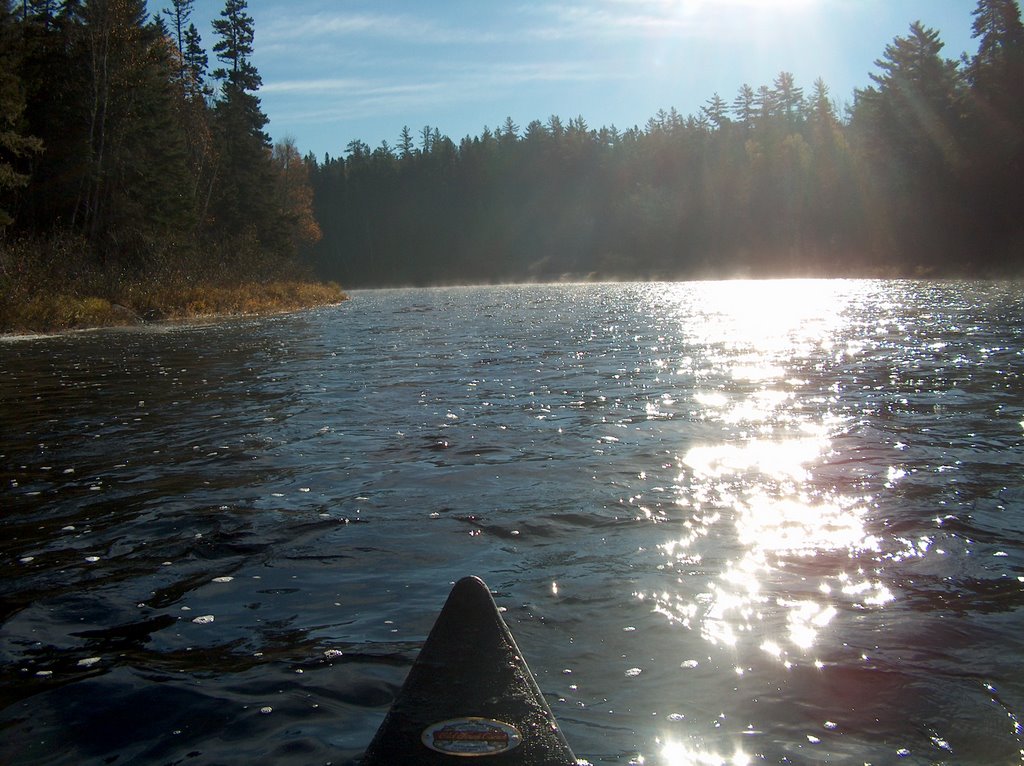
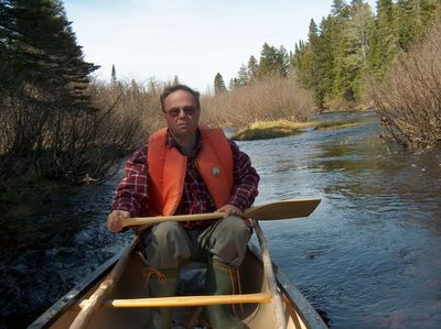
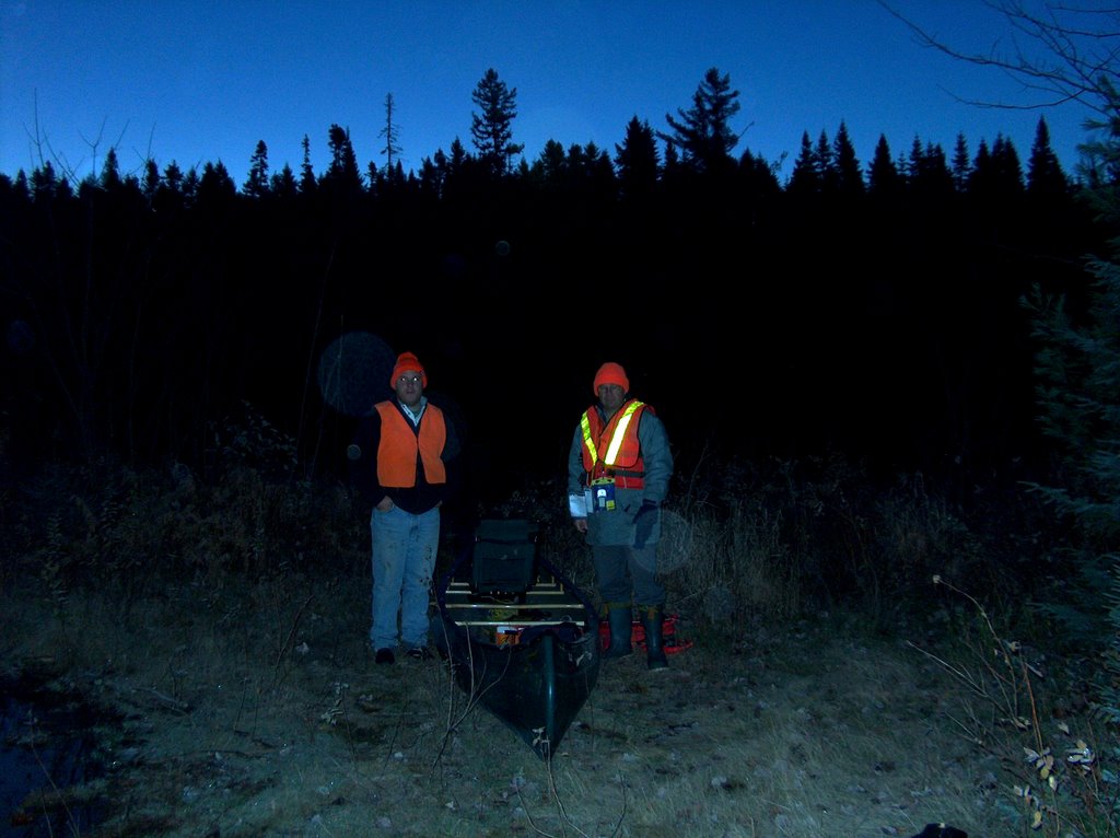
This trip began at the confluents of Otter Brook and the Cains at 7:30 am on Saturday, October 29, 2005. The temperature was -5 C, and although I look to be suitably dressed, I wasn't. I suffered from mild hypothermia for the first three hours.


Thursday, March 09, 2006


The water level was high: 2.65 metres at the Blackville measuring station. The upper part offered ample opportunity to practise avoiding rocks by manouevering quickly in Mitchell's new Charles River Old Town. I had to stop to put on extra socks. My shivering was shaking the entire canoe. Every so often we'd catch furtive glimpses of the sun like this one. It didn't provide us with warmth until about 10 o'clock.

Wednesday, March 08, 2006


Leighton Brook Camp. A beautiful location and I'm finally warm.

Tuesday, March 07, 2006


Just a really nice photo. Hope you enjoy it.

Sunday, March 05, 2006


Lunch! Hot Food. The wood was wet from all the rain but we managed a hot meal. This is the road just above Hope Well Camp. The trip ended at the Cains River bridge about 45 minutes from here. The running time was about five hours.

Monday, February 06, 2006

Bartholomew Trip

This is where the trip began at the Junction of the Russell and Swim Road and the South Branch of the Bartholomew River at 9:40 am. The river height at the Blackville measuring station was two metres and I wouldn't try the trip if the water level were any lower. The top stretch is low, and although we didn't have to carry the canoe or get out, we had a few tight fits. Lovely day (weather ) in May. GPS reference 46.36.929N 66.19.590W
Posted by Picasa
About .5 KM from the start, the North Branch puts in . This is below that point. From foreground to background: Neil Amos, Terry Amos (host) and famed outdoorsman (self-proclaimed) Jim Mills. Posted by Picasa
The Alvin Storey Bridge. Halfway there. From left to right Neil and Mitchell Amos having refreshments after the arduous journey.12:26 pm. 46.38.033N 66. 13.702W

 Posted by Picasa
John Veno's camp. A very nice spot close to the river. The camp was open and we availed ourselves of John's hospitality and propane stove. 46.38.235N
66.09.594W Posted by Picasa

Tuesday, January 31, 2006

End of the trip. The bridge on the Dungarvon Road (misnomer) right fork running east. 5pm. 46.39.710N 66.04.134W.
Over view: A pleasant trip which included a few stops. The actual running time would have been about six and a half hours. The stream moves at a good clip, but there are few obstacles. One note of caution; sometimes the turns are quick and fast. You occassionally will be thrown into the shore. Once I hit a protruding tree and once a sharp turn threw the occupants of the lead canoe into the river, but the canoe remained upright. Posted by Picasa