Bartholomew Trip
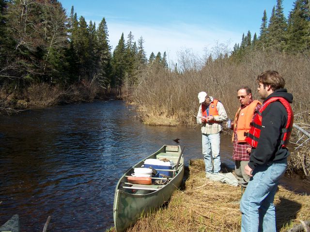
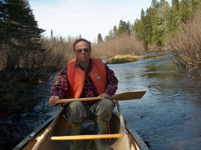
This is where the trip began at the Junction of the Russell and Swim Road and the South Branch of the Bartholomew River at 9:40 am. The river height at the Blackville measuring stationwas two metres and I wouldn't try the trip if the water level were any lower. The top stretch is low, and although we didn't have to carry the canoe or get out, we had a few tight fits. Lovely day (weather ) in May. GPS reference 46.36.929N 66.19.590W


This is where the trip began at the Junction of the Russell and Swim Road and the South Branch of the Bartholomew River at 9:40 am. The river height at the Blackville measuring station
posted by Canoe Guy at 7:59 PM
0 comments
![]()
![]()